Our Core Services
We provide comprehensive GIS and Remote Sensing solutions tailored to meet your specific needs and challenges.
GIS Mapping
Advanced spatial analysis and mapping solutions for urban planning, environmental monitoring, and resource management.
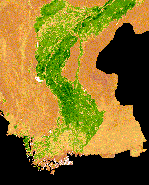
Remote Sensing
Satellite imagery analysis and interpretation for agriculture, forestry, disaster management, and climate studies.
Gespatial Analysis
Transform complex spatial data into actionable insights through advanced analytics and visualization techniques.
Web GIS
Interactive web-based GIS applications and dashboards for real-time data visualization and analysis using Leaflet, OpenLayers, MapBox, ArcGIS Online.
Google Earth Engine
Cloud-based planetary-scale analysis using Google's infrastructure for processing satellite imagery and geospatial datasets.
Spatial Databases
Design and optimization of spatial databases using PostGIS, Oracle Spatial, and other enterprise solutions for efficient geospatial data management.
Geospatial Development
Custom geospatial application development using modern frameworks, APIs, and libraries for web using Geopandas, GDAL.
GeoAI
Artificial intelligence and machine learning applications for geospatial analysis, pattern recognition, and automated feature extraction using Python libraries TensorFlow, Pytorch.
Why Choose Arz?
3 Random Dudes who know how to Map
We 3 Dudes are certified GIS professionals and remote sensing specialists brings years of combined experience to every project.
Customer Satisfaction over some Bucks
With over 67+ successful projects and industry recognition, we deliver results that exceed expectations.
Cutting-Edge Technology
We leverage the latest GIS software, satellite imagery, and analytical tools to provide state-of-the-art solutions.
Ready to Transform Your Spatial Data?
Let's discuss how our GIS and Remote Sensing expertise can drive your project's success.